Barron County Geographic Information System
Barron County's Geographic Information System (GIS) data is available for 24/7 access on two sites: Beacon and LiDAR Online.
Beacon includes geographic and assessment record information currently maintained by Barron County for individual parcels of property as well as aerial photography and a multitude of other map layers. Many tools are built into the site which allow for query, printing, and even export of selected records.
Click on image below to open:
![]()
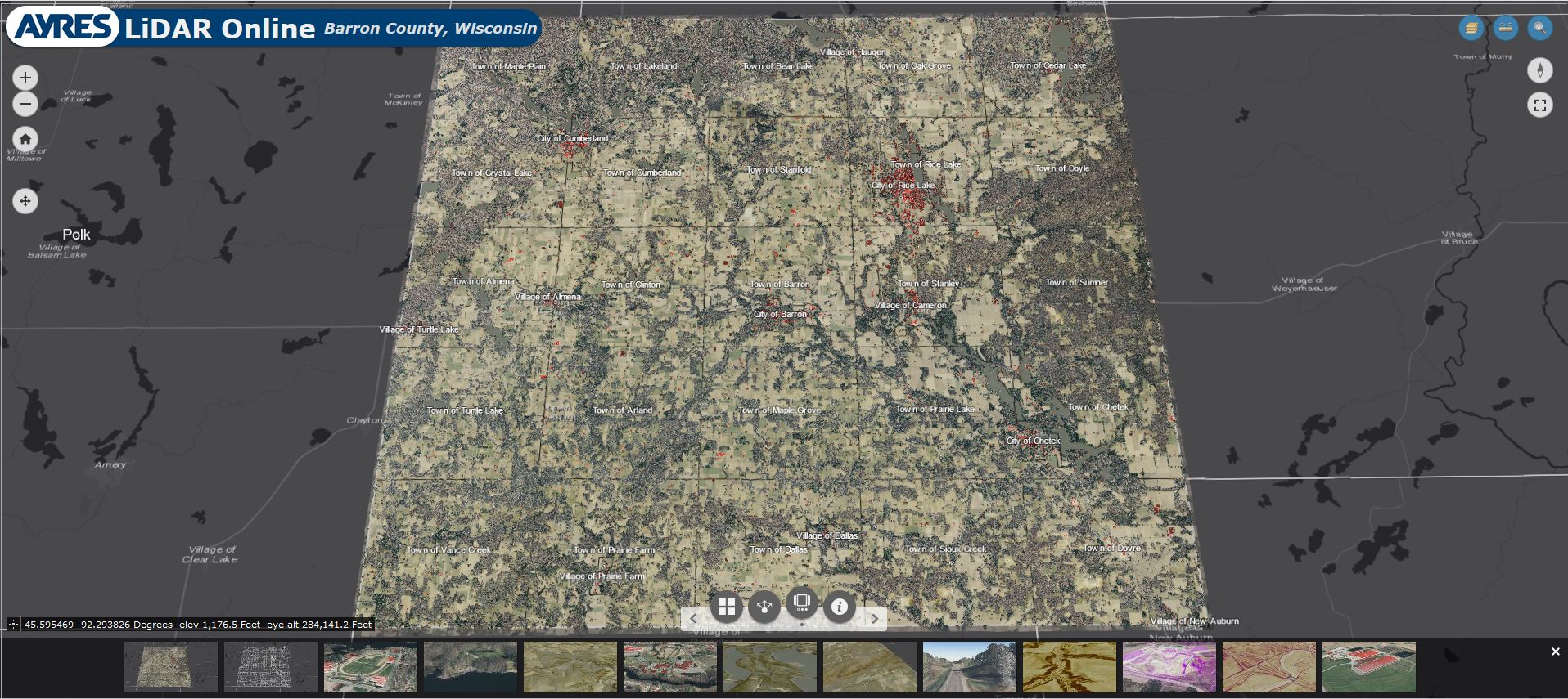
LiDAR Online highlights and displays the detailed elevation data collected for FEMA in 2019 (ground, high vegetation, and buildings) as well as aerial photography and a few basic map layers. Users can view Barron County from all angles and utilize the available tools for measuring ground distance as well as feature height. *Please note that this application requires a web browser which supports WebGL, such as Chrome or Firefox. Click on image below to open: